Arader Galleries

Map of Oregon Territory 1838
$ 4,500.00
Pickup currently unavailable
Samuel Parker (1779-1866)
Map of Oregon Territory
Utica, N.Y.: 1838
Copper-plate engraving
Sheet: 14 6/8" x 23", Framed: 30 1/4" x 22"
Utica, N.Y.: 1838
Copper-plate engraving
Sheet: 14 6/8" x 23", Framed: 30 1/4" x 22"
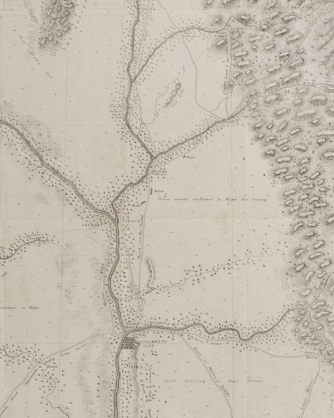
PARKER, Rev., Samuel (1779-1866). Map of Oregon Territory. Ithaca: Andrus, Woodruff, and Gauntlett, 1838 Single sheet (14 6/8 x 23 inches). Large folding engraved map of Oregon engraved by M.M. Peabody of Utica, NY, extending from the Pacific well into the Great Plains to Lesser Slave Lake, Lake Winnipeg, the Omahas, and the Grand Pawnees in modern-day Missouri, showing the locations of the Native American tribes. (old folds, right-hand margin with discreet and expert repairs affecting the neat line).
“…map is the first of the Oregon interior done with any accuracy" (Streeter Sale 2093).
First edition, of a very detailed map giving considerable attention to rivers and other physcial features, including the Columbia watershed, with most of the Missouri and Platte basins and Salt Lake. Parker was the first Presbyterian missionary in Oregon when he travelled in 1835 with fellow missionary Marcus Whitman looking for potential missionary sites. He traveled as far north as Colville while locating sites for missions near Spokane, Lewiston, and Walla Walla. Eventually, he traveled to Fort Vancouver, and from their obtained free passage by ship to Hawaii, and after some delay there he returned to Boston via Cape Horn.
"Samuel Parker's 'Map of Oregon Territory' of 1838 represented a real advance, and was made from personal observation. Of it Wagner-Camp remarked that it was 'the earliest to obtain circulation which contains reliable information as to the interior of Oregon Territory. . .' On this map the North Fork of the Platte is shown, with the Sweetwater flowing into it. South Pass is not named, but the sources of the Sweetwater and the Big Sandy. . .are close together. Bear River is imperfect, but correctly flows into Salt Lake, while not far north, at the mouth of the Portneuf, is Fort Hall. The Yellowstone heads in Lake Eustis, but Lewis and Clark's Lake Biddle is now absent, and west of the crest of the Rockies is Jackson's Lake, under the Trois Tetons, finding its outlet in a stream that flows into Henry's Fork, and later the Snake. . ." (Wheat, Mapping the Transmississippi West, volume II pages 165-166). Howes P89: "Parker accompanied a fur-trading party, in 1835, from Council Bluffs to Walla Walla." Plains & Rockies IV:70:3. Tweney, Washington 89 #24