Arader Galleries
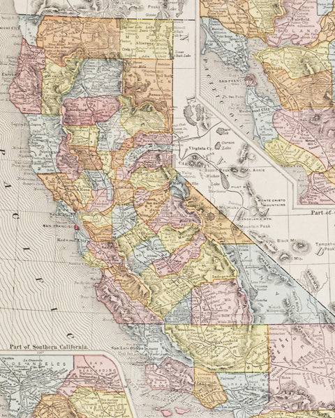
Southern Half of California (1901)
Pickup currently unavailable
George F. Cram (1842-1928)
Southern Half of California
From: Cram's Superior Atlas of the World: Indexed
Chicago: George F. Cram Co., 1901
Original Hand-Colored Lithograph
Paper Dimensions: 22 x 14.5 in
This topographical detailed map of the mountainous regions throughout the southern half of California covers counties from San Francisco to San Diego. It also includes a legend listing the southern half counties and chief cities.
After becoming sole proprietor of his Uncle’s map business, Cram’s firm (George F. Cram Co.) became the leading map firm as well as the first American firm to publish a world atlas.


