Arader Galleries

A New Map of Texas, Oregon, and California
$ 22,000.00
Pickup currently unavailable
Samuel Augustus Mitchell (1790-1868)
A New Map of Texas, Oregon, and California
Philadelphia: 1846
Original hand-color lithograph
Sheet: 20 ¾” x 19 ¼”, Framed: 30 1/4” x 37 1/4”
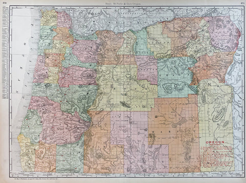
A New Map of Texas, Oregon, and California
Philadelphia: 1846
Original hand-color lithograph
Sheet: 20 ¾” x 19 ¼”, Framed: 30 1/4” x 37 1/4”
46-page “Accompaniment to Mitchell’s New Map of Texas, Oregon, and California” (some spotting at beginning and end). Fine folding lithographed map with original hand color in full (separation along folds, some browning). Original publisher’s blind stamped morocco gilt, preserved in a modern half green morocco slipcase, marbled boards with printed paper spine label (top half of backstrip lacking).
Provenance: With contemporary manuscript ownership inscription of Augustus ?Scronsius. From the important cartographical library of Warren Heckrotte, his sale, Rare Cartography, Exploration and Voyages, Part II, December 3, 2015, Lot 192.
First edition. Rare first edition of this important map of the West at a time of geographic discovery as well as political upheaval and change. The map is issued with the 46-page text "Accompaniment to Mitchell's New Map of Texas, Oregon, and California, with the Regions Adjoining." As noted in the Accompaniment, Texas has recently been annexed into the United States, and California is in limbo, "Upper California. This part of Mexico was declared independent in 1845. It has of late attracted much attention in the United States; a number of Americans are already settled in it, and many others are preparing to emigrate thither..." Regarding Oregon, the Accompaniment declares that "the United States have an indubitable claim to the whole region of Oregon, from N. lat 42º to 54º 40', yet the government has several times proposed, from motives of accommodation, to adopt the 49th parallel of latitude as the dividing line..." The proposed boundary line along the 49th parallel is shown on the map, though the coloring of Oregon still reflects joint occupation up to N. lat 54º 40'. "In the Upper California portion, Fremont is carefully followed, while further north Wilkes is followed. The boundary (to be) with Mexico is imperfectly shown but Texas appears with the magnified boundaries, including Santa Fe, of the 1844 Emory. The various claims to Oregon appear. The Accompaniment is of particular interest, containing perhaps the clearest statement of Oregon and California facts that came out of the period just prior to settlement of the former's boundaries and inclusion of the latter in the United States" (Wheat). Cowan p.433. Graff 2841. Howes M685. Wheat Transmississippi 520. Wheat Gold Rush 29. Martin & Martin, Maps of Texas and the Southwest, Plate 36 and p. 57. California 49, map 25. Sabin 49714.