Arader Galleries
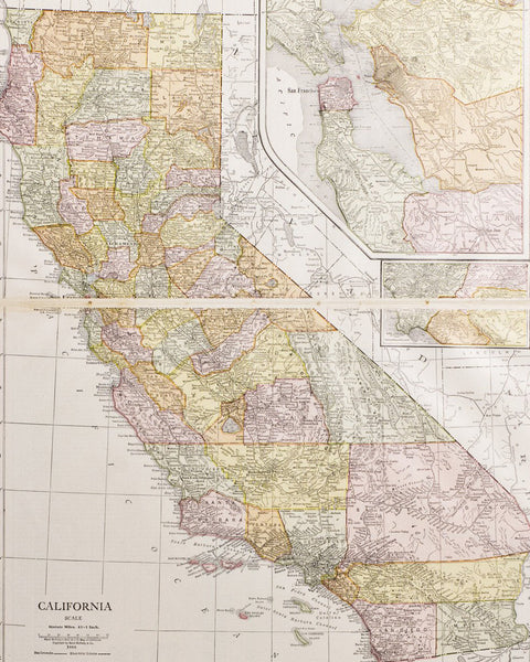
Map of San Francisco, 1900
Pickup currently unavailable
After serving in the U.S. Army under the Union forces during the American Civil War, Cram joined his Uncle Rufus Blanchard’s Evanston Map business in 1867. Shortly after, he became the sole proprietor of the firm, renaming it to George F. Cram Co. With a company history expanding over 130 years, it became the leading map firm as well as the first American firm to publish a world atlas. The 19th century publications include: Unrivaled Family Atlas (1883), Illustrated Atlas (1885), Unrivaled Atlas (1887), American Railway System Atlas (1891), and the Universal Atlas(1894).
This fine map of San Francisco during the early 20th century depicts a detailed grid layout of the city.The constant growth of the railroad system and the birth of the cross-bay transit from the newly established Ferry Building in San Francisco, provided California with an elaborate business infrastructure and impressive array of manufacturers.


