Arader Galleries
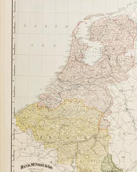
A New & Accurate Map of the Netherlands or Low Countries
$ 125.00
Pickup currently unavailable
Eman (Emanuel) Bowen (1714 - 1767)
A New & Accurate Map of the Netherlands or Low Countries
From: A Complete System of Geography
London: 1747
Engraving
Paper Dimensions: 20 x 17.75 in.
This detailed map displays Belgium and Luxembourg, along with parts of Germany, France and Holland. Including topographical features within the regions.
Emanuel Bowen was highly respected for producing some of the largest, most detailed and accurate maps of his time.


