Arader Galleries

Florida
$ 4,500.00
Pickup currently unavailable
Abraham Ortelius (1527-1598)
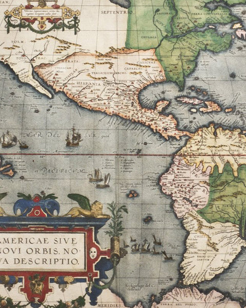
Florida - Peruviae - Guastecan
From: Theatrum Orbis Terrarum
Antwerp, 1584
Copper-plate engraving, original hand color
Sheet Dimensions: 17.75 x 22.25 in
Plate size: 13.25 x 18.15 in
Framed Dimensions: 25.25 x 30.75 in.
Each succeeding decade following the first New World discoveries created its own revolution of knowledge, but a watershed in the growth and illustration of geographical information was the atlas first published in 1570 by Abraham Ortelius, a businessman native to Antwerp. The Theatrum Orbis Terrarum was the first atlas in the modern sense of the word, as Ortelius compiled the best existing maps, re-engraved them on a standardized format, and included them with text in one volume. This was a landmark innovation, and the Theatrum was arguably the first printed production to have a major impact on the world perspective of contemporary Europeans.
This map, which first appeared in the third (1584) addition of Ortelius's Theatrum, records the discoveries of Hernando de Soto's expedition of 1539-1543. Drawn by the royal Spanish cosmographer, Geronimo de Chaves, who had access to first-hand information from the latest discoveries by Spanish explorers, it is one of the very few maps printed
in the sixteenth century that was based upon original Spanish sources. Generally the Spanish were very protective of their knowledge of the Americas, a considerable source of their wealth. Based on de Soto's manuscript, Chaves's La Florida was the earliest printed map of the Gulf Coast from Florida to Texas, and is usually considered the first map to
delineate any part of the interior of the present-day United States. The plate contains two other maps of similar Spanish regions of influence, Peruvviae and Guastecan (parts of present day Peru and Guatemala), the latter combining with La Florida to extend the coastline of the Gulf of Mexico further south. La Florida, in particular, influenced all maps of the
region for a century and is a primary source document of the first magnitude in the history of discovery and cartography.
Few maps of the Southeast had a greater or longer influence on continental mapmakers than this map from Ortelius's atlas. Ortelius's maps are rightly considered among the most beautiful ever produced, and the seamless combination of science and art is nowhere more visible than in his landmark map of Florida. Accompanying the advanced geographical knowledge that the map presented is an amazing wealth of engaging visual detail. Rightly celebrated for unequaled beauty as much as for outstanding discovery, this map represents a monumental moment in the history of mapping.