Arader Galleries

Virginiae Item et Floridae
$ 7,500.00
Pickup currently unavailable
Henricus Hondius (1597-1651)
Virginiae Item et Floridae
Amsterdam: 1647
Hand-colored copperplate engraving
28 ½" x 32 ¼" framed
$7,500
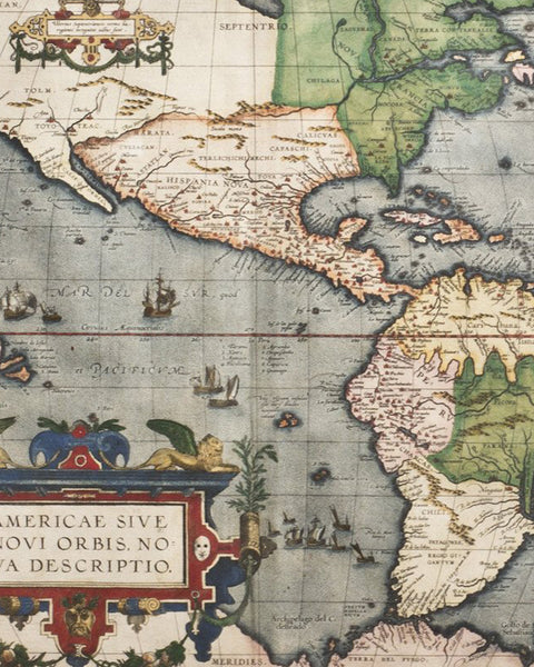
Virginiae Item et Floridae by Henricus Hondius was published in Amsterdam in 1647. This map is a beautifully detailed, hand-colored copperplate engraving of Virginia and Florida with accompanying Latin text.
The map and its’ publisher Henricus Hondius both have wonderful histories. Hondius, the younger son of famed map publisher Jodocus Hondius, was born in 1597. Like his father, Henricus was a cartographer and engraver. Jodocus’s great contributions to world of cartography included publishing an updated Meractor’s Atlas, working with John Speed and others. Henricus, following his father’s death in 1612, established his own branch of the family business in 1621. He published an edition of Mercator’s-Hondius Atlas in 1641.
Virginiae Item et Floridae was added to the 1647 addition of the Atlas. This map is a derivative from a series of other maps that had been elaborated on over time. Hondius’s information was received via the early maps of John Smith, an early colonist who sailed from England to Jamestown, Virginia in 1607. Given instructions to find gold, silver, and the quickest route to the Pacific, the only task Smith accomplished was to create a detailed, geographical cartography of the Chesapeake Bay Area. Smith’s interaction with the Native American tribes, particularly the Powhatan and the Susquehanna, meant that he could include the indigenous names for rivers, inlets and places on his map. Smith published early versions of the map in 1606, but it wasn’t until 1612 that his pamphlet, A Map of Virginia With a Description of the Contrey, reached a wide audience outside of England. Smith’s map continued to remain the most influential for other cartographers until the end of the seventeenth century.
Hondius’s map is a copy cut from his brother, Jodocus, and cartographer William Blaeu’s plates from 1629. The cartography of Florida is derived from the work of Jacques Le Moyne. Hondius’s map is the fifth derivative from Smith’s. His attention to detail is excellent. The large, cartouche not only clear states what the map is depicting but also has two arms that show early indigenous settlements.
The settlement on the left is in Florida and the one on the right is in Virginia. The
content of map is rather sparse for inland areas, but the coastal areas are clearly labeled. A few rivers reach inland. The mountains are clearly illustrated. Other such embellishments include two deer and a lovely turkey.
From Virginia, the land extends into Florida (Note that the coastline of the states of South and North Carolina and Georgia are greatly shortened.) where areas are labeled and outlined in pink and green. The sea is depicted in light blue, and where a few ships sail so do several sea creatures.
The lower corner of this map includes a smaller cartouche labeling coordinates and a compass with rhumb lines. The only figures on the map are depictions of Native Americans; four are at sea in canoes, while two larger figures grace the top of Florida. Dressed in traditional costume, they stand on top an elaborate Latin inscription. Not all the place names are written in Latin, some retain their original Native American spelling.
Since this map is derived from a compilation of sources not all the information is correct. Next to the two standing figures is a large lake that flows to the Atlantic and is labeled R de May. While the River May is clearly depicted and is topographically accurate it does not flow from or into a great lake.
Hondius’s map is a wonderful assimilation of various aspects of cartographic history making it a delightful addition to one’s collection. Similar versions and copies grace the collections of the New York Public Library, Yale, John Carter Brown, Duke and Harvard University.