Arader Galleries
California, Washington & Oregon
Pickup currently unavailable
D.F. Sotzmann (1754 - 1840)
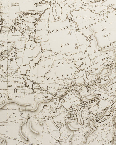
Karte des nordlichsten America; California, Washington & Oregon
From: Karte des nördlichsten America, nach der zweiten Ausgabe von Arrowsmith’s grosser Mercator-Karte in acht Blatt
Berlin; 1791
Copper etching
Sheet Dimension: 19.25 x 16.5 in.
Daniel Sotzmann was a German cartographer and was active between 1783 and 1806. He produced a number of district, province and city maps of Germany in association with Carl Ludwig Oesfeld. Their work laid the foundations for the cartographic style used by many German cartographers throughout the nineteenth century.
This map if a fine example of Daniel Sotzmann's incredible eye for detail. Based upon Arrowsmith's map reports of the discoveries of MacKenzie's Voyage and Stephen Long's Expedition to the source of the Mississippi River. As well as the Hudson Straits, Great Lakes, Missouri and Ohio River.


