Arader Galleries

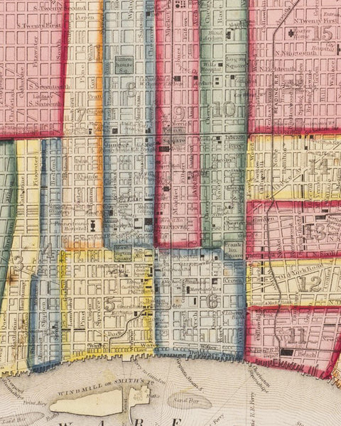
Plan of Philadelphia (1869)
$ 250.00
Pickup currently unavailable
S. Augustus Mitchell (1790 - 1860)
Plan of Philadelphia (1869)
From: New General Atlas
Philadelphia: 1869
Hand-colored lithograph
Sheet Dimension: 12.75 x 15.5 in.
A vibrant map of the layout of Philadelphia, including the Delaware River.
Born in Connecticut, Mitchell worked as teacher before publishing maps. His realization of the poor quality of geographical resources for teachers pushed him to start his own company. His company's publications covered all genres of geography; maps, travel guides, text books, etc.