Arader Galleries
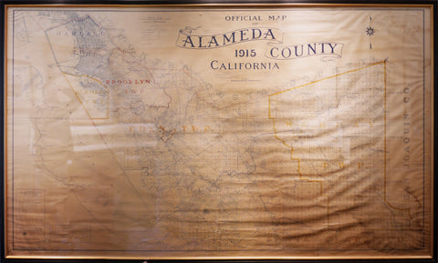
1915 Official Map of Alameda County
$ 12,000.00
Pickup currently unavailable
P. A. Haviland & F. H. Carter
Commercial blueprinting on white paper
Framed Size: 53” x 87”
Commercial Blue Printing on white paper, Published by the Oakland Blue Pint Company, with original linen backing by WS Hutchinson and Co.
A working cadastral map of Alameda County, at large, with land ownership, lots lines and acreage, as complied and defined by P.A. Havilland, the county surveyor of the time.
A really clean example of the official approved county map for 1915, with one small paper loss and a tear or 2. useful today as it was in 1915 .
Also from the Sanders Collection of maps for American title in Oakland, CA.

