Shop our Collections
Filter:
5 products
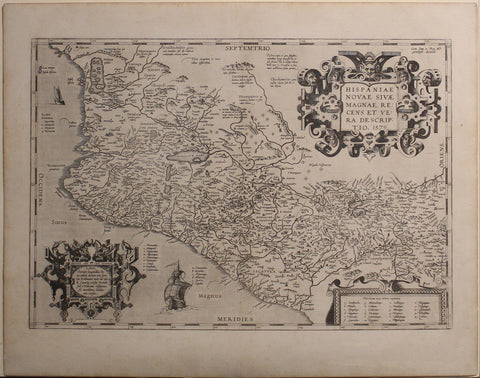
A foundational map of New Spain, Ortelius’ depiction of Mexico is one of the earliest printed maps of the region.
Published at a time when Spain’s dominance in the Americas was at its peak, it reflects the strategic and economic importance of New Spain in the global trade network.
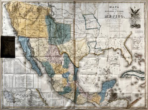
One of the most important maps in American History, this was the map that was used to negotiate the Treaty of Guadalupe-Hidalgo that brought the Mexican American War to a close.
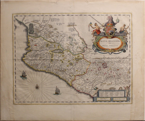
The Dutch were in direct conflict with Spain as part of the Eighty Years’ War (1568–1648), and their growing presence in the Caribbean and along the coasts of South America threatened Spain’s tightly controlled transatlantic trade.
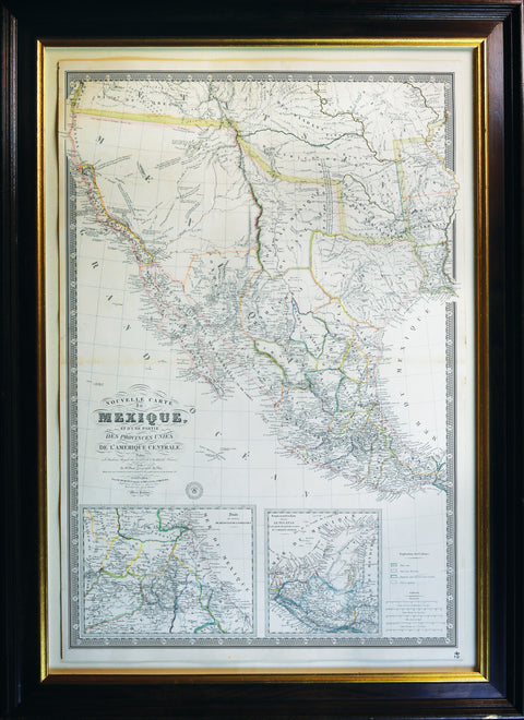
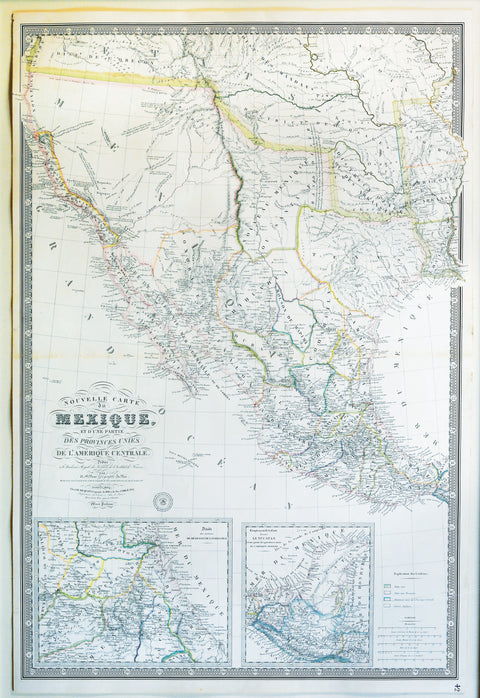
A magnificent map showing Texas as a province, Upper California and Mexico, and of importance for showing Jedediah Smith's journey to California and back in 1826.
Stay up to date on the latest product releases, special offers & news by signing up for our newsletter.
Read our privacy policy.