Maps & Exploration at Arader Galleries
Charting the New World
Where Arader Galleries began: antique maps, atlases and charts, from the first printed maps of the Americas to the shaping of California.

Maps & Exploration at Arader Galleries
Where Arader Galleries began: antique maps, atlases and charts, from the first printed maps of the Americas to the shaping of California.
The collection
Arader Galleries began with maps in 1972, and maps are still at the heart of what we do.
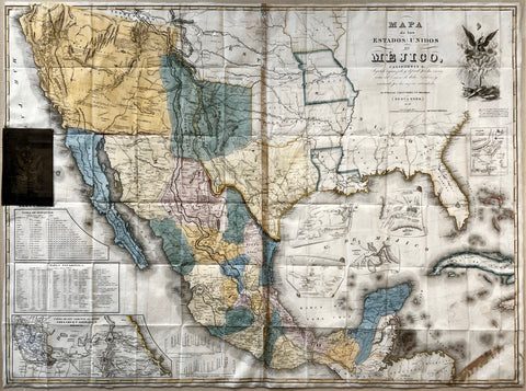
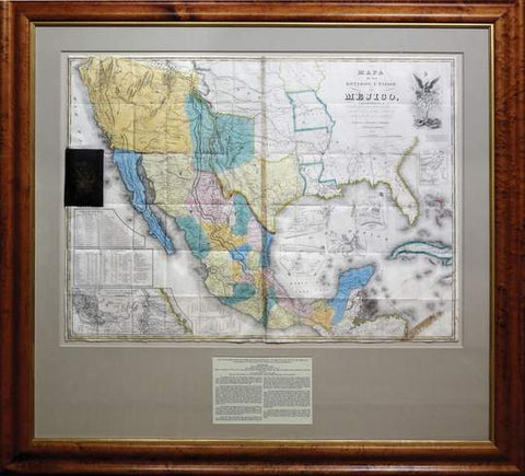
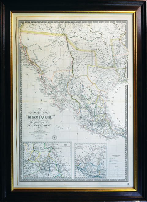
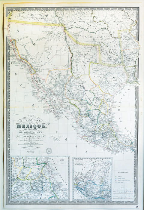
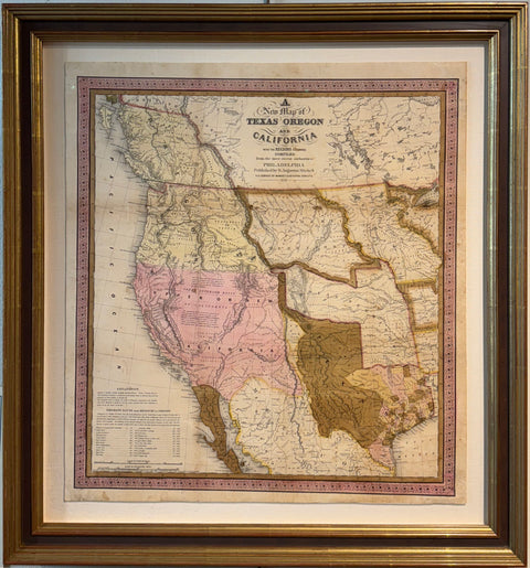
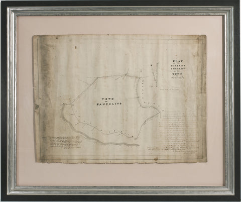
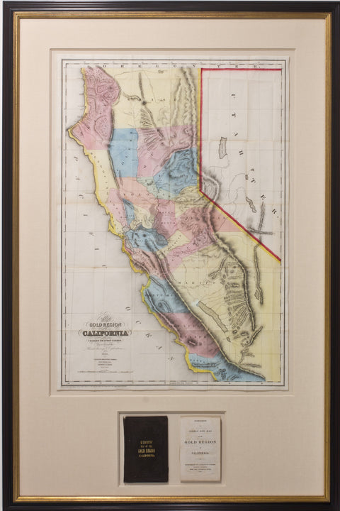
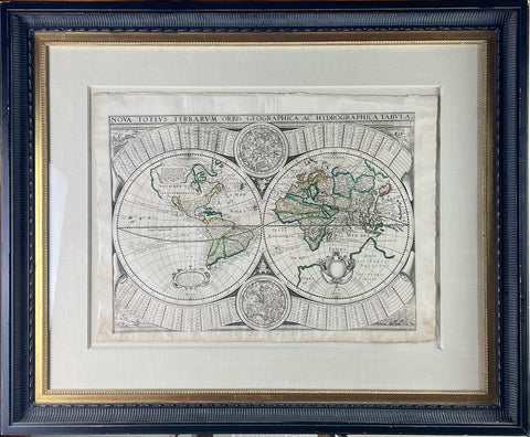
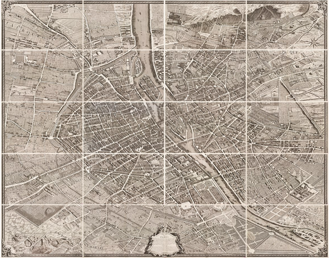
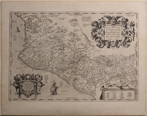
Every early map is a record of discovery: a coastline sketched from the deck of a ship, a river followed inland, a mountain range guessed at, California drawn as an island. Our inventory runs from sixteenth-century atlases by Ortelius and Blaeu to the survey maps that opened the American West, with a particular strength in the mapping of California.
Mapmakers in the Arader Galleries collection

In the gallery now
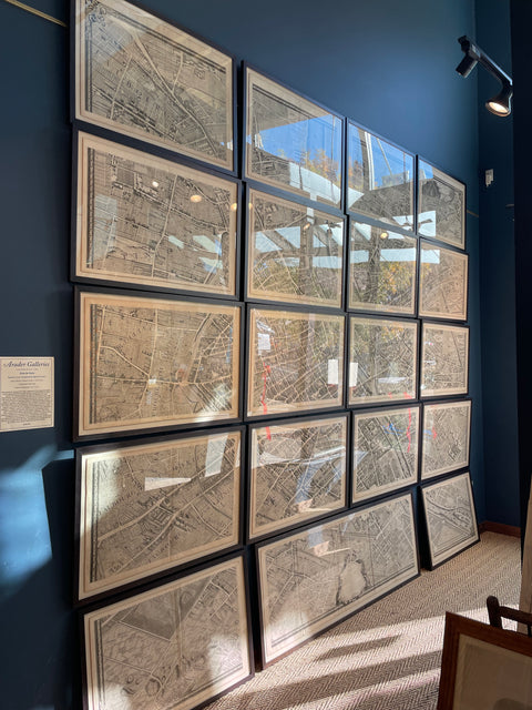
Only a small part of our map inventory is online. Many more maps and atlases are in the gallery in Saint Helena.
Ask JosephineSpeak with Josephine
Looking for a map of a particular place, a date or a mapmaker? Josephine can search our wider map inventory for you and arrange a viewing at the gallery.
Visit the gallery
Arader Galleries
1380 Main Street
Saint Helena, CA 94574
Hours
Monday – Friday: 9 am to 5 pm
Saturday – Sunday: 11 am to 5 pm