Shop our Collections
Filter:
77 products
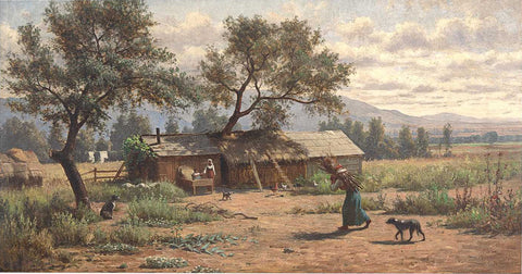
Produced during the Mexican-American War. At that time the Treaty of Cahuenga had just ended the conflict in California. John C. Fremont was installed as the state’s first governor in January of 1849.
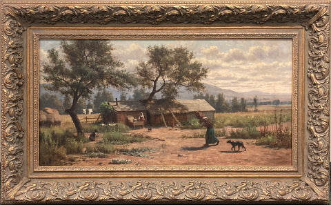
The present painting was executed when Willams returned to California and was renewed by the tranquil setting near Mount St. Helena.
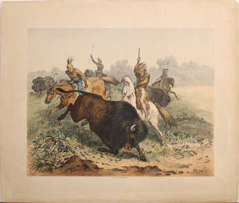
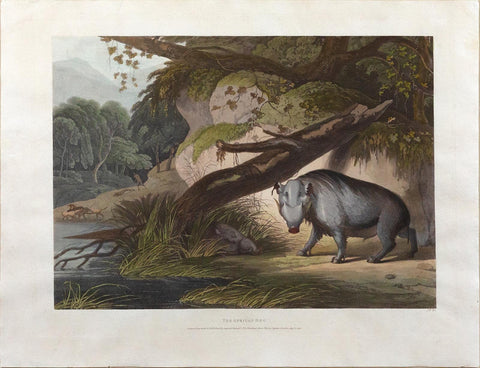
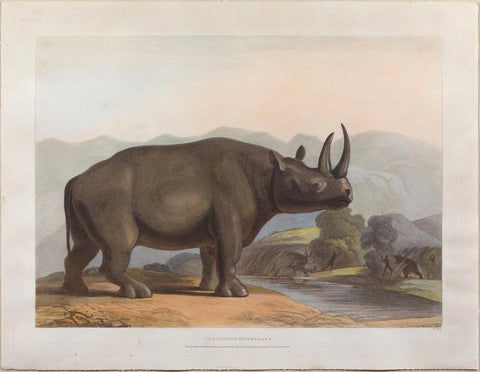
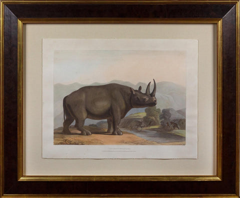
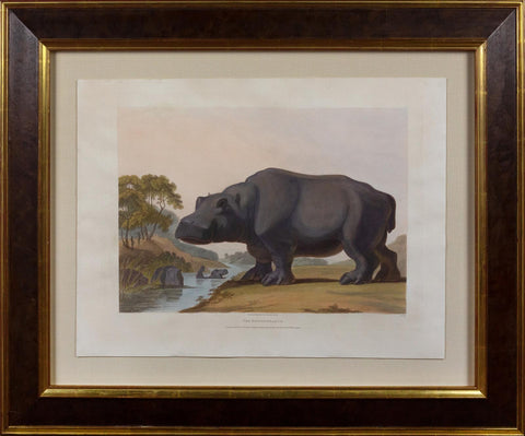
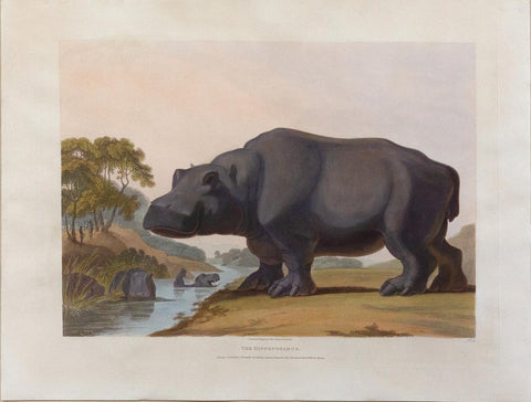
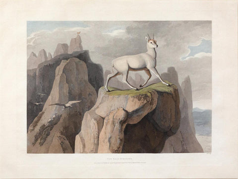
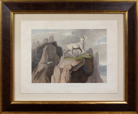
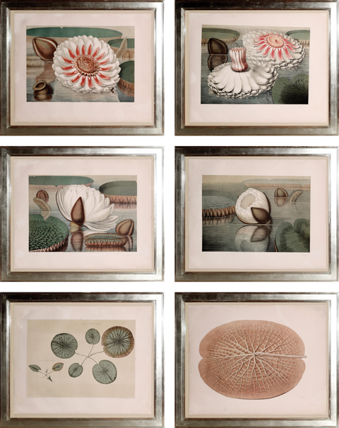
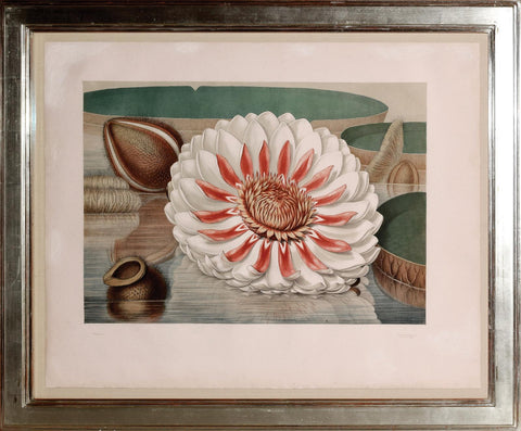
This hand-colored lithograph reflects the 19th-century European fascination with the American West, a period when romanticized portrayals of indigenous peoples and wildlife were prevalent in art and literature.
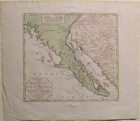
This rare 1765 map focuses on the Spanish and Mexican borderlands, particularly California and parts of modern-day Arizona.
Stay up to date on the latest product releases, special offers & news by signing up for our newsletter.
Read our privacy policy.


![Spanish Admiralty. Plano de las Yslas de Sta. Catalina y Providencia. 1809 [COLUMBIA, CARIBBEAN SEA]](http://araderca.com/cdn/shop/files/PlanodelasIslasdelaCatalina_480x.jpg?v=1738959563)