Shop our Collections
Filter:
7 products
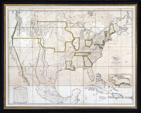
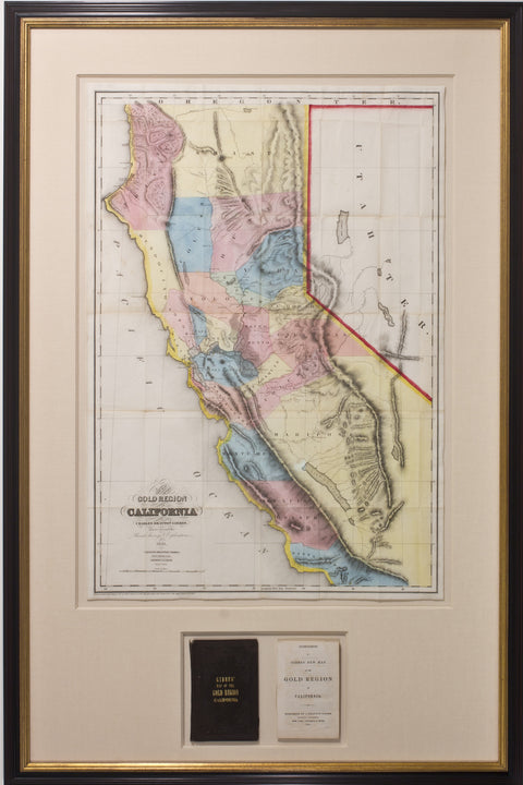
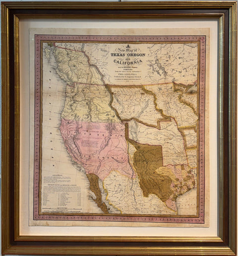
Produced during the Mexican-American War. At that time the Treaty of Cahuenga had just ended the conflict in California. John C. Fremont was installed as the state’s first governor in January of 1849.
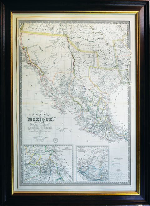
A magnificent map showing Texas as a province, Upper California and Mexico, and of importance for showing Jedediah Smith's journey to California and back in 1826.
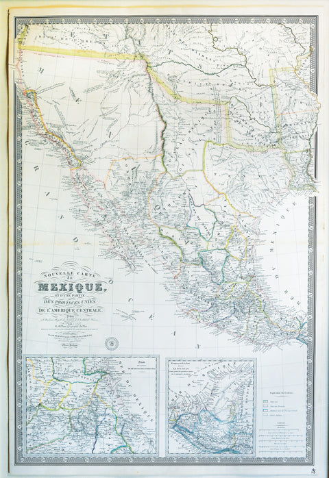
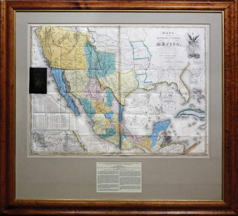
One of the most important maps in American History, this was the map that was used to negotiate the Treaty of Guadalupe-Hidalgo that brought the Mexican American War to a close.
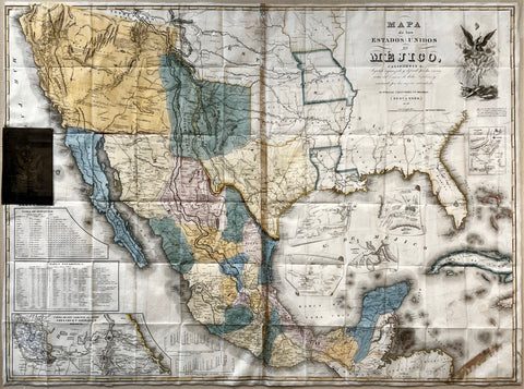
FIRST MAP OF CALIFORNIA TO SHOW COUNTY BOUNDARIES (Streeter)First edition.
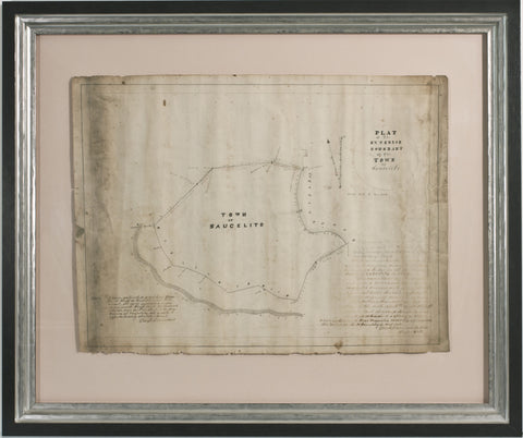
Provenance: Spring Valley Water Company, Leland Stanford and W.B .Bourne, presented as evidence at the California Supreme court -1917 SVWCo. VS SFPUC, with court stamp on verso
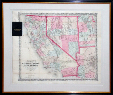
An exceptional map of California, Nevada and Utah by Bancroft and Company. A.L. Bancroft and CompanyMap of California, Nevada, Utah and Arizona. The folding map’s portability meant that the map could be used in the field as a travel resource.
Stay up to date on the latest product releases, special offers & news by signing up for our newsletter.
Read our privacy policy.